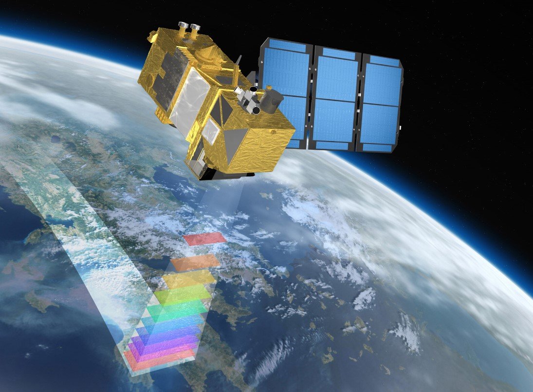
Remote sensing technologies are revolutionizing our understanding of urban airflow dynamics. By employing advanced tools like lidar and microwave radiometers, researchers can now capture detailed data on the atmospheric boundary layer in cities. This breakthrough offers valuable insights into how urban structures influence airflow, which can inform urban planning and development to create more sustainable and resilient cities.
Understanding Urban Airflow
Urban areas are complex environments where buildings and other structures significantly impact airflow patterns. Remote sensing technologies, such as lidar and microwave radiometers, have enabled scientists to study these dynamics in unprecedented detail. These tools provide data on atmospheric stability, wind shear, and wind veer, which are crucial for understanding how air moves through urban landscapes. This information is essential for designing buildings that can withstand strong winds and for planning cities that can effectively disperse heat and pollution.

The data collected from remote sensing technologies reveal that urban areas often experience unstable atmospheric conditions. This instability affects wind speed and direction, leading to variations in airflow at different altitudes. By understanding these patterns, urban planners can design more efficient ventilation systems and create urban layouts that promote better air circulation. This knowledge is also vital for addressing the urban heat island effect, where cities become significantly warmer than their rural surroundings due to human activities and infrastructure.
Applications in Urban Planning
The insights gained from remote sensing technologies have numerous applications in urban planning. One of the most significant benefits is the ability to design buildings and infrastructure that are more resilient to environmental challenges. For example, understanding wind patterns can help architects create structures that minimize wind resistance and reduce the risk of damage during storms. Additionally, this information can guide the placement of green spaces and water bodies to enhance natural cooling and improve air quality.
Remote sensing data also play a crucial role in managing urban pollution. By monitoring air quality and identifying sources of pollution, city planners can implement targeted measures to reduce emissions and improve public health. This is particularly important in densely populated areas where pollution levels can have severe health impacts. Furthermore, remote sensing technologies can help track the effectiveness of these measures over time, ensuring that cities remain on track to meet their environmental goals.
Future Directions
As remote sensing technologies continue to advance, their applications in urban planning and environmental management will expand. One promising area of research is the integration of remote sensing data with machine learning algorithms to create predictive models of urban airflow dynamics. These models can simulate different scenarios and provide valuable insights for decision-makers, helping them to design more sustainable and resilient cities.
Another exciting development is the potential for remote sensing technologies to monitor urban environments in real-time. This capability would allow city planners to respond quickly to changing conditions and implement adaptive measures to mitigate the impacts of extreme weather events. For example, real-time data on wind patterns could inform the deployment of temporary barriers or the evacuation of vulnerable areas during a storm.
In conclusion, remote sensing technologies are transforming our understanding of urban airflow dynamics and providing valuable tools for creating more sustainable and resilient cities. By leveraging these technologies, urban planners can design environments that promote better air circulation, reduce pollution, and enhance the overall quality of life for city residents.


